Description
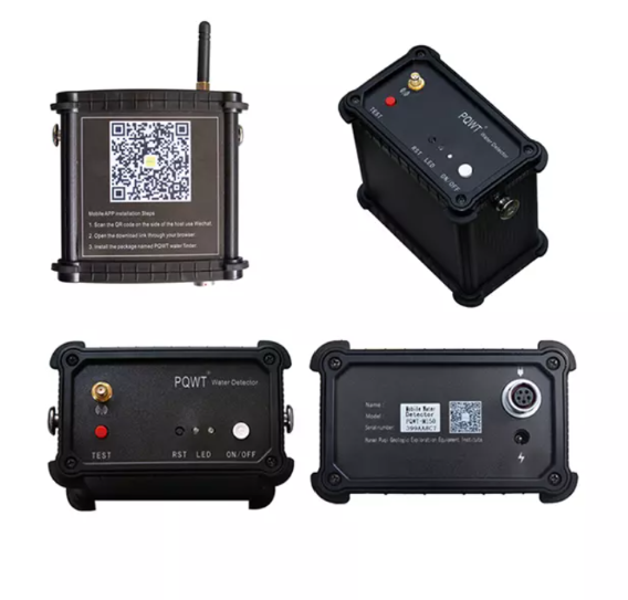
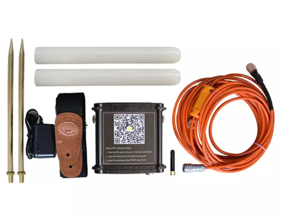
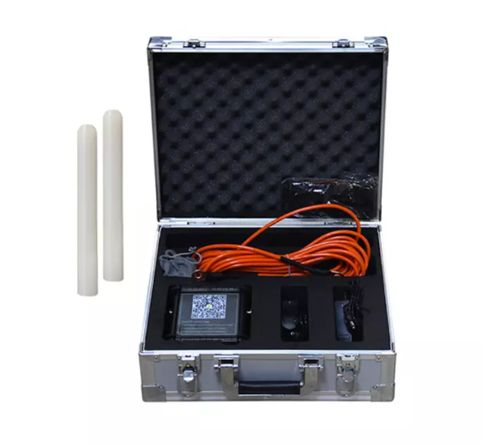
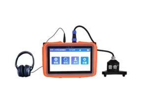
PQWT-M400.400M Mobile Water Detector
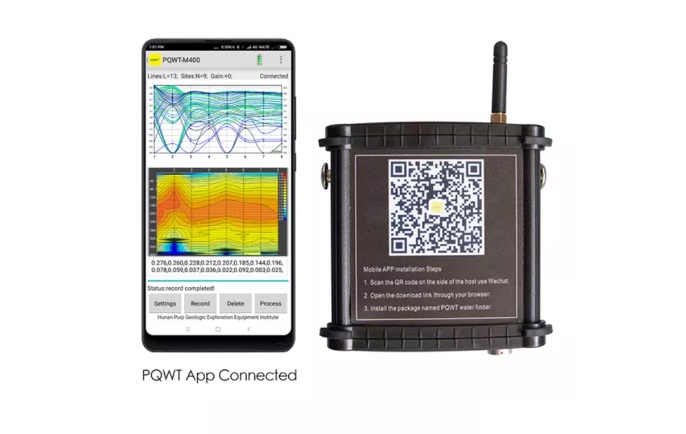
The PQWT-M400 400M Mobile Water Detector is a high-performance automatic mapping instrument that uses the Earth’s electromagnetic field to detect underground water resources.
By analyzing variations in electrical conductivity, it identifies aquifers, faults, fractures, and caves across diverse terrains such as plains, hills, and mountains.
This advanced water finder provides real-time geological profiles with one-key operation, no network or registration required. Designed for efficiency, even beginners can operate it in minutes. Ideal for locating well sites and analyzing geological structures, the PQWT-M400 offers expert remote assistance, automatic mapping, and a two-year warranty for reliable field performance.

