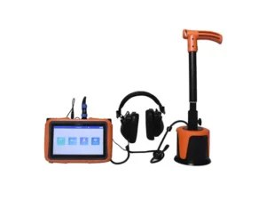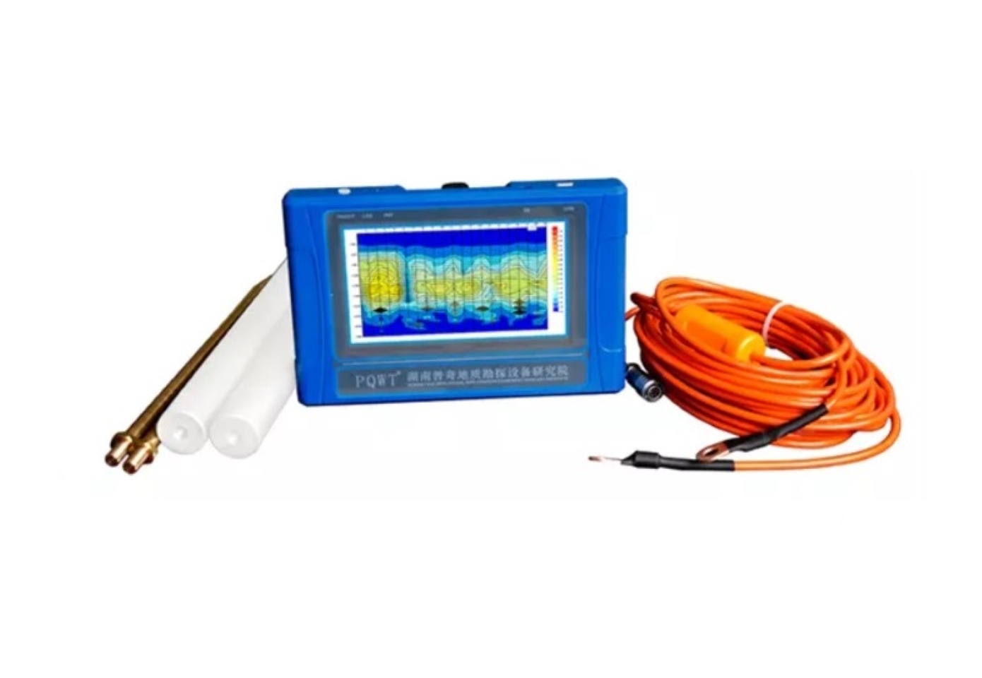
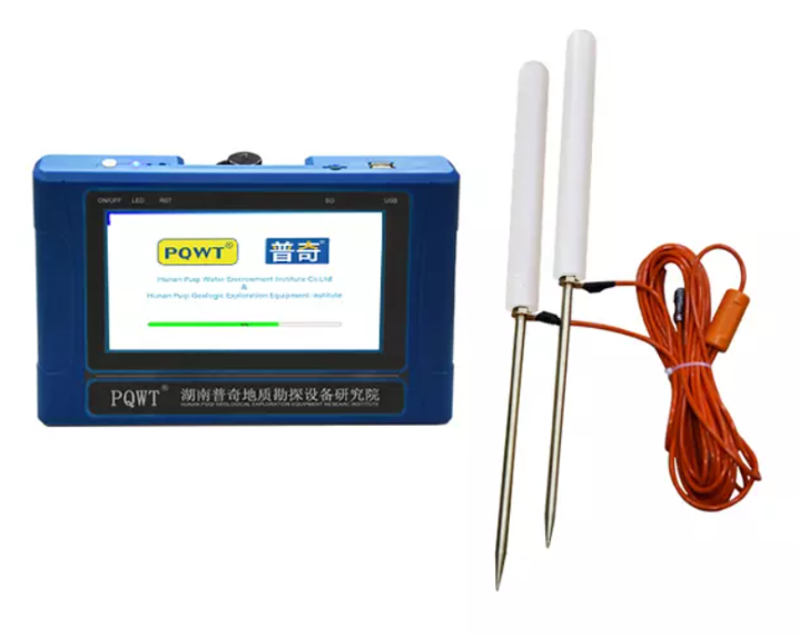
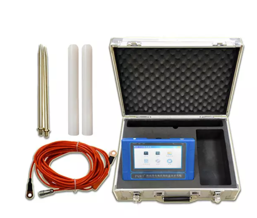
Description
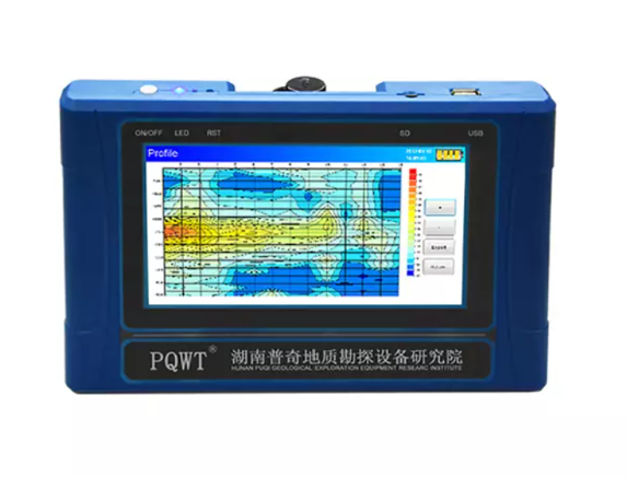
The PQWT-TC300 300M Automatic Mapping Water Detector is a high-precision groundwater exploration instrument that uses the Earth’s natural electromagnetic field to analyze underground geological structures.
It automatically maps geological profiles in real time with one-click operation, eliminating complex computer processing. Ideal for detecting aquifers, fractures, and faults, it performs efficiently across plains, hills, mountains, and basins.
It is suitable for locating well positions and aquifer depths, it boasts over 90% accuracy, it is easy to use, and can be mastered in minutes. Features include multilingual support (English, Spanish, French, Arabic), 24-hour after-sales service, and a 2-year warranty.