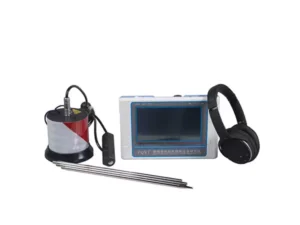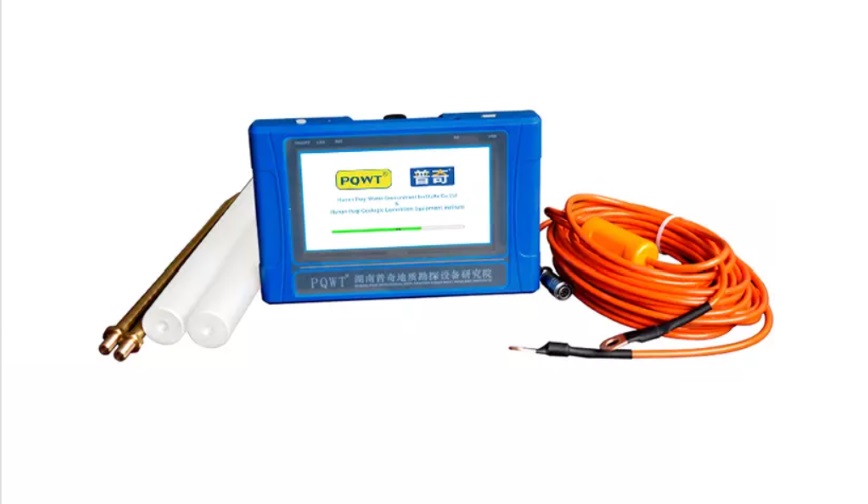
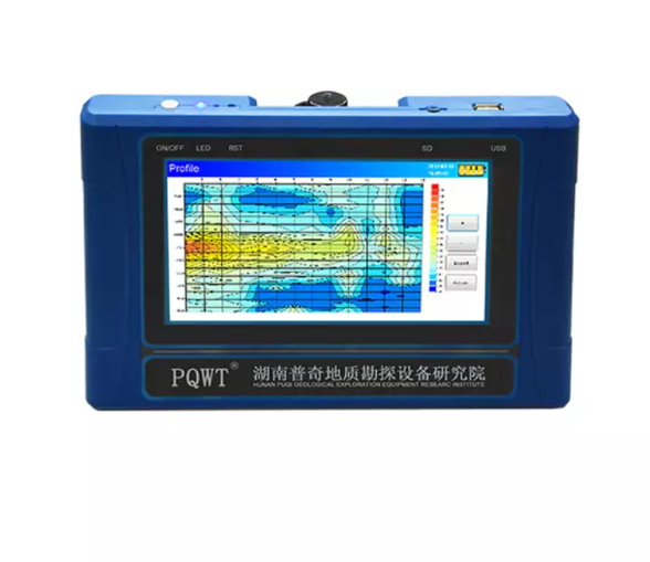
Description
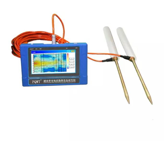
The PQWT-TC500 500M Automatic Mapping Water Detector uses the Earth’s natural electromagnetic field to analyze underground geological structures and locate groundwater scientifically. It automatically maps geological profiles in real-time, displaying aquifers, fractures, faults, and caves through clear visual curves.
IT is ideal for various terrains; plains, hills, mountains, highlands, and basins. It helps determine optimal drilling positions and aquifer depths. With over 90% accuracy. It is multi-language support (English, Spanish, French, Arabic), and easy to operate.
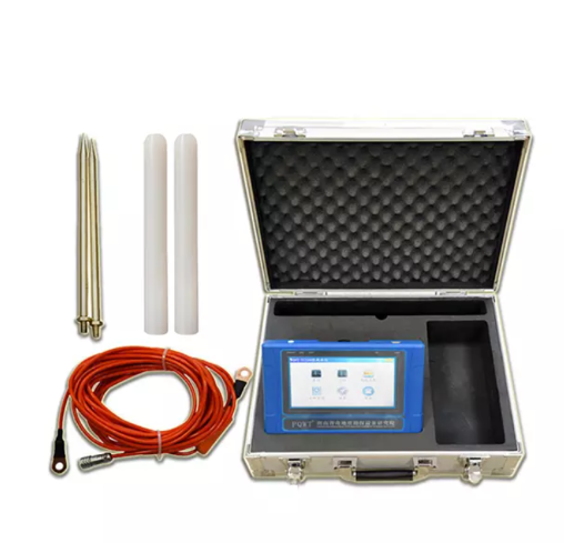
The PQWT-TC500 is perfect for detecting drinking water and irrigation sources. Durable, efficient, and user-friendly, it includes 24-hour customer support and a two-year warranty.