Description
Description
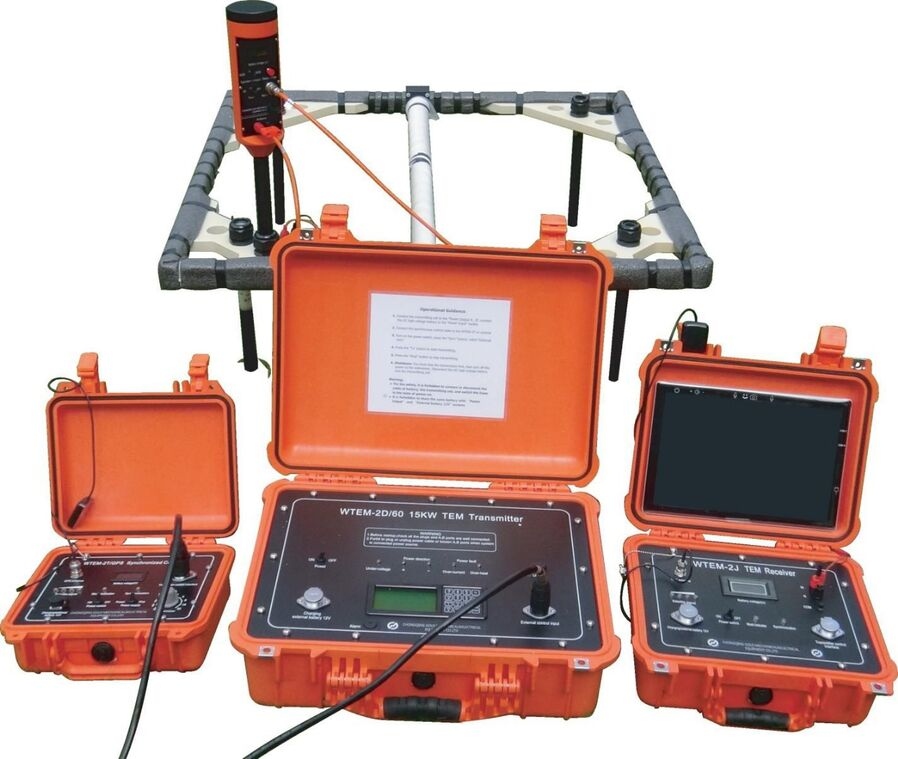
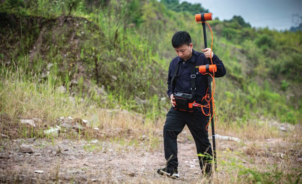
It is a user-friendly, rapid survey solution that can provide precise resistivity models directly in the field for the search, mapping and monitoring of groundwater, mineral deposits and environmental change.
Applications
- In Mineral deposits – The WTEM system is a powerful geophysical tool designed to detect and delineate subsurface conductive anomalies, making it highly effective in the exploration of mineral deposits. By leveraging transient electromagnetic pulses, WTEM enables geoscientists to map resistivity variations in the earth, which often correlate with the presence of economically valuable minerals.
- In Environmental change – It is a rapid means of surveying for a wide range of environmental applications e.g., detecting hazardous clay layers in geological formations, tracking and analysing depths of permafrost or contamination plumes.
- In groundwater – It is highly valuable in groundwater investigations because of it’s strong response to conductive materials. it can distinguish between fresh and saline water zones, track aquifer recharge and drawdown, and help define aquifer boundaries by providing detailed profiles.