
GD-5 Ultra Magnetotelluric System
- (¥) CNY
- (UShs) UGX
- ($) USD
Product Features
• Wideband Detection (DC–10 kHz): Delivers full-spectrum coverage for shallow and deep subsurface structures.
• High-Precision 32-bit ADC: Achieves crystal-clear signal fidelity with ultra-low noise and distortion.
• Multi-Mode Integration: Seamlessly supports MT, AMT, and CSAMT modes for flexible exploration needs.
• Real-Time Geological Imaging: View resistivity profiles, phase curves, and apparent resistivity instantly on-site.
• Rugged, Field-Ready Design: IP67-rated enclosure withstands harsh weather, dust, and impact.
• Ultra-Low Power Consumption (< 5 W): Ideal for extended field campaigns with minimal energy use.
• Precise Timing Synchronization (≤ 30 ns): Dual GPS and thermostatic crystal clock ensure timing integrity in all conditions.
• High Data Capacity & Fast Transfer: Built-in 64 GB storage with USB, WiFi, and Ethernet connectivity.
The GD-5 Ultra Magnetotelluric System is built for deep geological, mineral, geothermal, and groundwater surveys, this powerful system integrates MT, AMT, and CSAMT methods in a single compact platform. Built on advanced digital architecture, the GD-5 Ultra features six synchronized channels (three electric and three magnetic) for simultaneous broadband data acquisition. Its wide frequency range (DC–10 kHz) and 32-bit high-speed sampling ensure exceptional resolution from shallow to ultra-deep layers of the Earth’s crust. With real-time imaging, ultra-low noise design, and GPS-based nanosecond synchronization, every measurement captured is precise and ready for immediate interpretation even in the most remote field environments.
Applications
• Mineral and Metal Exploration – Detect conductive ore bodies, faults, and mineralized zones.
• Geothermal Resource Assessment – Identify reservoirs, caprock, and hydrothermal structures.
• Groundwater Detection – Map aquifers, salinity boundaries, and recharge zones.
• Oil & Gas Exploration – Characterize deep structures and fluid migration pathways.
• Engineering & Tunnel Surveys – Assess geological stability before excavation.
• Scientific Research – Study crustal conductivity, fault zones, and tectonic structures.
Related Products
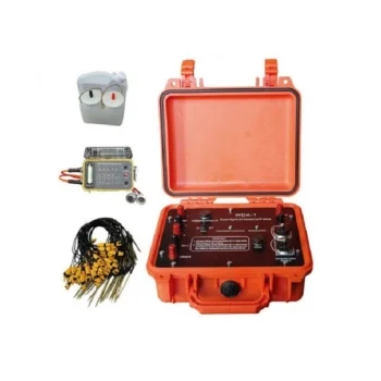
Product Features:
• Dual Functionality: Measures both resistivity and induced polarization (IP) with exceptional precision.
• High Power & Depth: Advanced signal processing allows deep penetration and stable readings even in complex terrains.
• Intelligent Design: Automatic data recording, self-calibration, and real-time display simplify field operations.
• User-Friendly Interface: Intuitive touchscreen display and simple menu navigation enhance operational efficiency.
• Reliable Performance: Excellent anti-interference capability ensures accurate measurements in various geological environments.
• Flexible Data Management: Supports USB data export and PC software for data processing, mapping, and reporting.
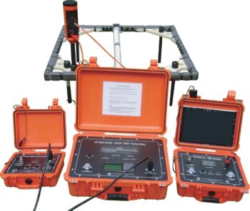
The WTEM Transient Electromagnetic Method System is an advanced geophysical exploration solution engineered for rapid, high-precision subsurface investigation.
Designed to integrate the best features of transient electromagnetic (TEM) technology worldwide, the WTEM system delivers powerful transmission, exceptional anti-interference performance, and reliable data quality in diverse field conditions, from shallow environmental mapping to deep mineral and groundwater exploration.
Applications:
• Mineral exploration (e.g., base metals, gold deposits)
• Groundwater and aquifer mapping
• Environmental and engineering geophysics
• Hydrocarbon and geothermal reconnaissance
• Railway and infrastructure subsurface surveys
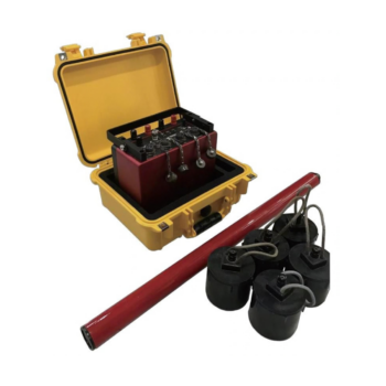
Product Features:
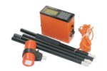
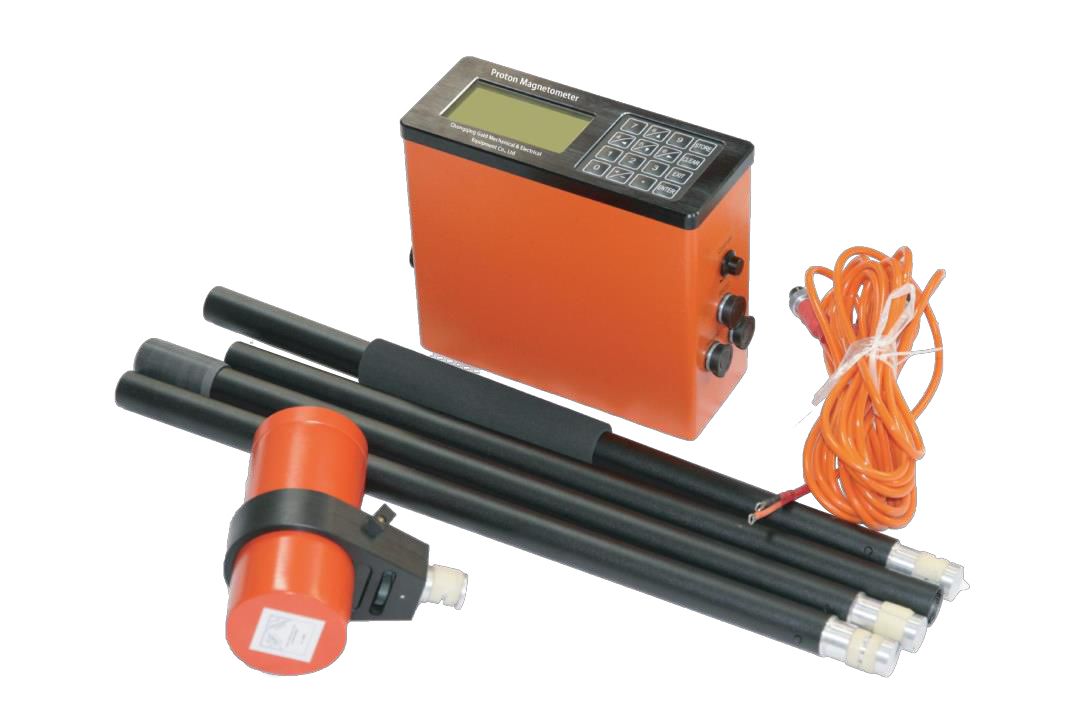
- Proton-precession sensor for absolute total-field measurements
- Rugged, weather-resistant housing for field durability
- Large, readable display with clear numeric and status indicators
- Onboard memory for thousands of readings and time-stamped records
- GPS time/position tagging (optional) and USB/Bluetooth data transfer
- Long-lasting rechargeable battery with field-replaceable pack
- Lightweight carry case and mounted tripod/stand options
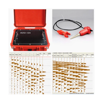
- Product: The WZG-24/48C is a 24/48-channel engineering seismograph with 24-bit digital technology for high-resolution seismic data acquisition.
- Applications: Surface wave analysis, seismic refraction and reflection surveys, shear wave velocity testing, pile integrity assessment, and micro tremor monitoring.
- Key features: Real-time waveform display, signal enhancement, noise reduction, waveform stacking, and flexible sampling options.
- Performance: Wide dynamic range and high sampling precision give reliable results even in challenging field conditions.
- Flexibility and uses: Supports 24- or 48-channel setups for projects from shallow site characterization to complex subsurface imaging, including infrastructure, groundwater, mining, environmental, and civil engineering work.
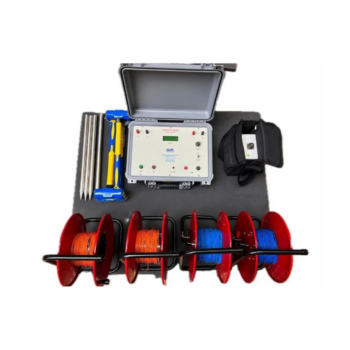
- Signal quality: Signal stacking with up to 16-cycle averaging improves signal-to-noise ratio and data accuracy.
- Power and depth: 180W output with current up to 2A, investigating depths up to 600m.
- Measurement: High-resolution, microprocessor-based readings with automatic range and self-potential compensation, plus direct measurement of true formation resistivity between successive current electrode spacings.
- Ease of use: Menu system with LCD display and keypad, and direct USB transfer of data to Windows-based PCs.
- Safety and reliability: Automatic detection of poor electrode grounding and circuit discontinuities, plus overload protection for the equipment.