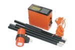
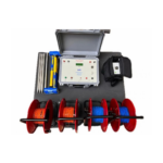
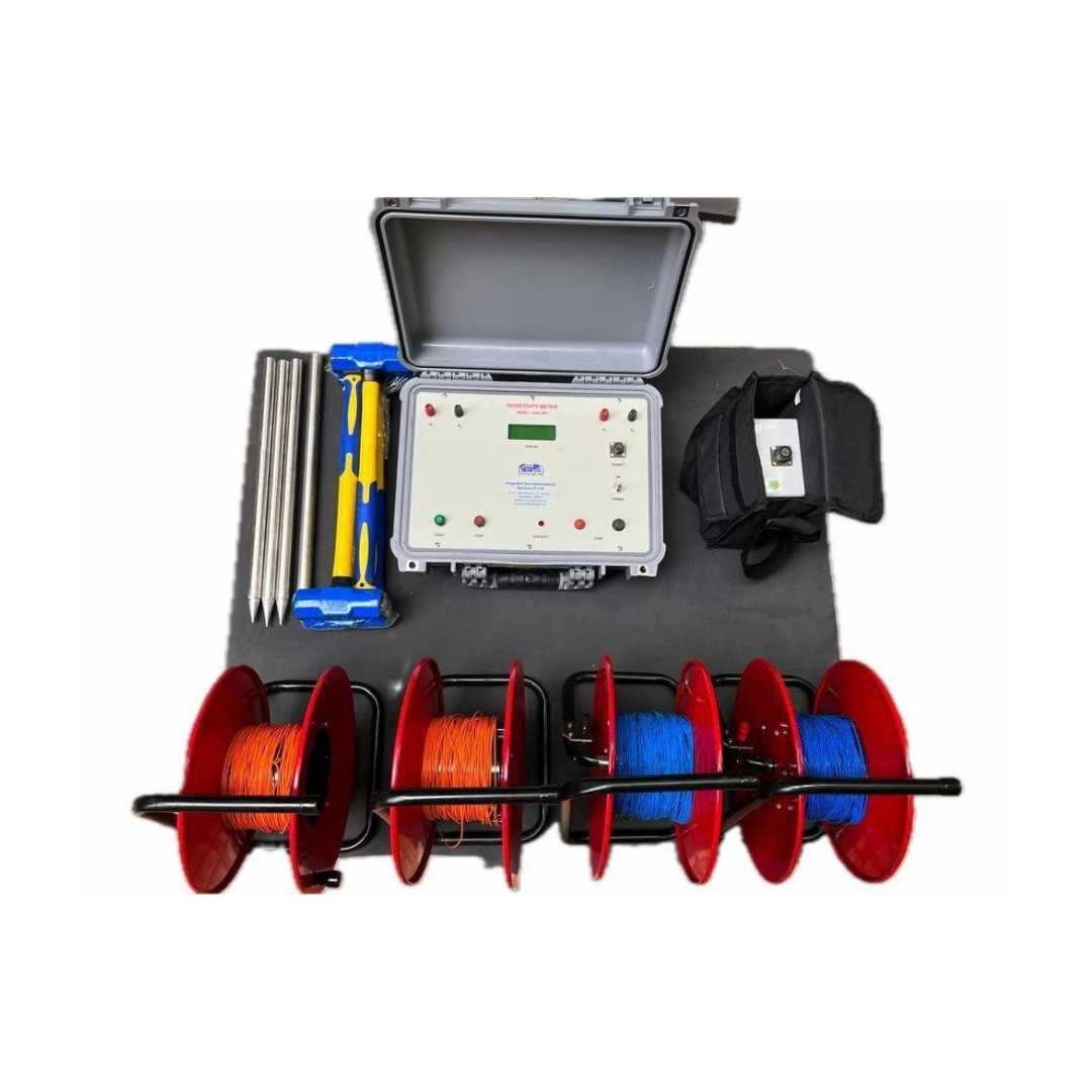
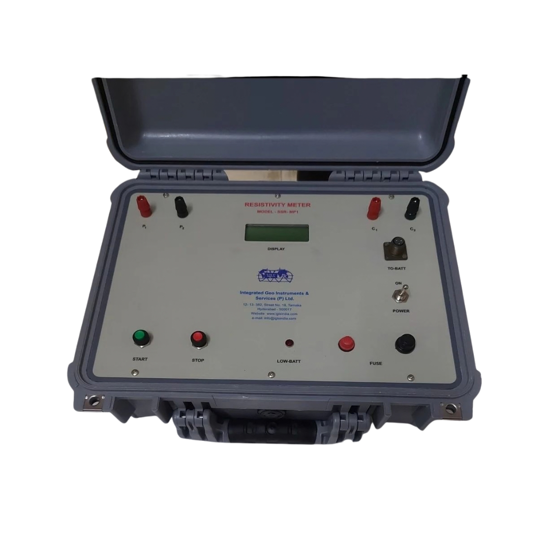
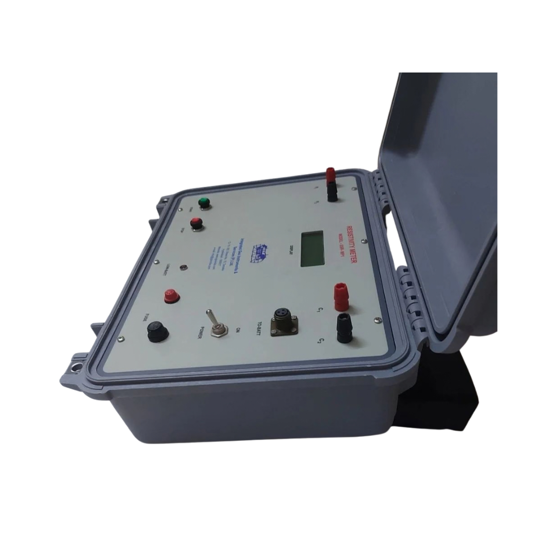
SSR-MP-ATS
- (¥) CNY
- (UShs) UGX
- ($) USD
- Signal quality: Signal stacking with up to 16-cycle averaging improves signal-to-noise ratio and data accuracy.
- Power and depth: 180W output with current up to 2A, investigating depths up to 600m.
- Measurement: High-resolution, microprocessor-based readings with automatic range and self-potential compensation, plus direct measurement of true formation resistivity between successive current electrode spacings.
- Ease of use: Menu system with LCD display and keypad, and direct USB transfer of data to Windows-based PCs.
- Safety and reliability: Automatic detection of poor electrode grounding and circuit discontinuities, plus overload protection for the equipment.
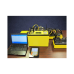
Advanced Resistivity Surveying for Groundwater, Mineral, and Geotechnical Investigations. The SSR MP ATS Signal Stacking Resistivity Meter is a state-of-the-art microprocessor-based geophysical instrument engineered to deliver highly accurate subsurface resistivity measurements for groundwater exploration, mineral prospecting, geological investigations, and geotechnical studies. Designed with advanced digital circuitry and innovative signal enhancement technology, the SSR MP ATS maximizes current injection into the ground, enabling deeper penetration and superior data quality even in challenging field conditions. Its unique signal stacking capability averages up to 16 successive readings, significantly improving signal-to-noise ratio and ensuring reliable measurements in noisy environments.With depth penetration capabilities of up to 600 meters under favorable geological conditions, the SSR MP ATS is an ideal solution for hydrogeologists, geophysicists, drilling contractors, mining companies, and environmental consultants seeking dependable subsurface imaging results.
Applications
• Groundwater exploration and aquifer mapping
• Borehole siting and drilling investigations
• Mineral exploration surveys
• Bedrock depth determination
• Geological structure delineation
• Sand and gravel deposit identification
• Environmental and engineering geophysics
• Academic and geophysical field training
Related Products
Product Features:
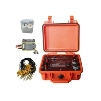
• Dual Functionality: Measures both resistivity and induced polarization (IP) with exceptional precision.
• High Power & Depth: Advanced signal processing allows deep penetration and stable readings even in complex terrains.
• Intelligent Design: Automatic data recording, self-calibration, and real-time display simplify field operations.
• User-Friendly Interface: Intuitive touchscreen display and simple menu navigation enhance operational efficiency.
• Reliable Performance: Excellent anti-interference capability ensures accurate measurements in various geological environments.
• Flexible Data Management: Supports USB data export and PC software for data processing, mapping, and reporting.
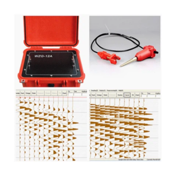
- Product: The WZG-24/48C is a 24/48-channel engineering seismograph with 24-bit digital technology for high-resolution seismic data acquisition.
- Applications: Surface wave analysis, seismic refraction and reflection surveys, shear wave velocity testing, pile integrity assessment, and micro tremor monitoring.
- Key features: Real-time waveform display, signal enhancement, noise reduction, waveform stacking, and flexible sampling options.
- Performance: Wide dynamic range and high sampling precision give reliable results even in challenging field conditions.
- Flexibility and uses: Supports 24- or 48-channel setups for projects from shallow site characterization to complex subsurface imaging, including infrastructure, groundwater, mining, environmental, and civil engineering work.
Product Features:
- Proton-precession sensor for absolute total-field measurements
- Rugged, weather-resistant housing for field durability
- Large, readable display with clear numeric and status indicators
- Onboard memory for thousands of readings and time-stamped records
- GPS time/position tagging (optional) and USB/Bluetooth data transfer
- Long-lasting rechargeable battery with field-replaceable pack
- Lightweight carry case and mounted tripod/stand options
Product Features:
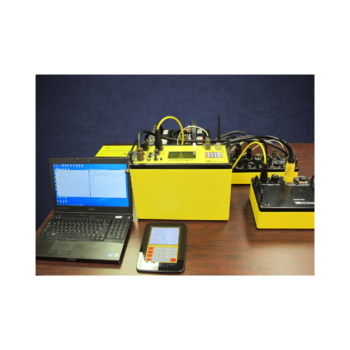
• 8-channel simultaneous measurement for rapid data acquisition
• Wi-Fi enabled for seamless remote control and data transfer
• Expandable electrode capacity – supports up to 112 electrodes with 5m spacing
• Marine and land survey compatibility, ideal for complex terrains and aquatic environments
• Integrated GPS and EarthImager™ software for precise positioning and advanced inversion modeling
• Rugged field-ready design with heavy-duty transport case, stainless steel electrodes, and robust cabling
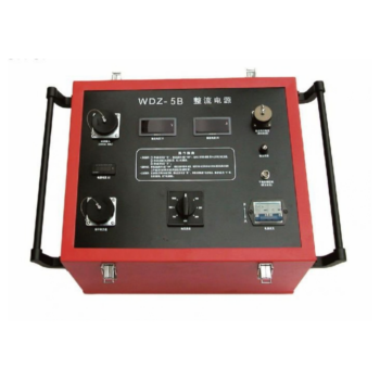
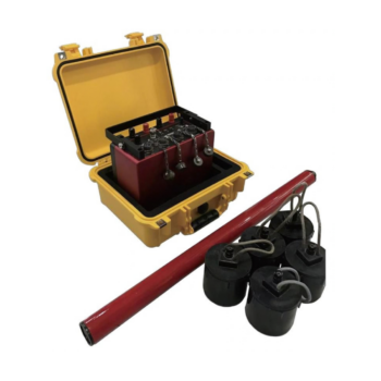
- Multi-channel operation: Simultaneous data acquisition from multiple electrodes speeds up surveys and improves data accuracy.
- Power: Strong current injection allows deep detection and reliable data in high-resistivity formations and challenging ground conditions.
- Intelligent control: Microprocessor-based system with automatic ranging, polarity switching, and real-time monitoring for safe, efficient operation.
- Precision: Digital filtering and noise reduction give stable, interference-free signals for accurate subsurface mapping.
- Flexibility and durability: Works with multiple electrode arrays (Wenner, Schlumberger, Dipole-Dipole, etc.) for resistivity and IP surveys, in a robust, weather-resistant build suited to field and laboratory use.
Product Features
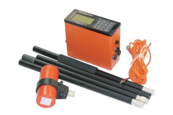
• Wideband Detection (DC–10 kHz): Delivers full-spectrum coverage for shallow and deep subsurface structures.
• High-Precision 32-bit ADC: Achieves crystal-clear signal fidelity with ultra-low noise and distortion.
• Multi-Mode Integration: Seamlessly supports MT, AMT, and CSAMT modes for flexible exploration needs.
• Real-Time Geological Imaging: View resistivity profiles, phase curves, and apparent resistivity instantly on-site.
• Rugged, Field-Ready Design: IP67-rated enclosure withstands harsh weather, dust, and impact.
• Ultra-Low Power Consumption (< 5 W): Ideal for extended field campaigns with minimal energy use.
• Precise Timing Synchronization (≤ 30 ns): Dual GPS and thermostatic crystal clock ensure timing integrity in all conditions.
• High Data Capacity & Fast Transfer: Built-in 64 GB storage with USB, WiFi, and Ethernet connectivity.