

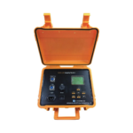
GDP-3D WIRELESS DIGITAL INCLINOMETER

- (¥) CNY
- (UShs) UGX
- ($) USD
Key Features
- Wireless and Bluetooth connectivity – enables seamless data transmission and real-time monitoring without cumbersome cables, enhancing field efficiency and safety.
- 3D orientation sensing – equipped with three magnetometers and three accelerometers for full spatial awareness and high-resolution directional data.
- Magnetic multi-shot surveying – captures multiple orientation points in a single run, ideal for complex borehole trajectories.
- High precision and stability – it is engineered for consistent performance in non-magnetic and weak magnetic formations, minimizing distortion and drift.
- Portable and user-friendly – It has a compact design and an intuitive interface suitable for varied field conditions and rapid deployment.
This is a borehole survey instrument designed for high -precision measurement of inclination (dip) and azimuth in vertical and directional drilling.
It integrates advanced wireless communication, 3-axis magnetometers, and accelerometers to deliver fast, accurate, and inference resistant data.
Related Products
Product Features
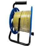
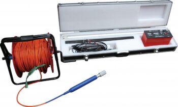
• High-accuracy polyethylene-coated steel tape with millimeter graduations
• Durable stainless-steel water-sensing probe
• Audible buzzer and LED light indication upon water contact
• Adjustable sensitivity control for varying water conductivity
• Portable hand-reel design for easy field deployment
• Replaceable 9V battery power supply
• Fast response time for efficient measurements
• Suitable for wells, boreholes, standpipes, and groundwater monitoring installations
• Available in multiple tape lengths: 100m, 150m, 200m, 300m, 400m, and 500m
Product Features:
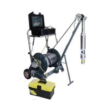
- Panoramic borehole imaging that captures continuous, full circumferences images of the borehole walls revealing bedding planes, fractures, lithological contacts, and structural features with exceptional details.
- Digital video and still capture offering both real time video streaming and high-resolution still image recording for post analysis and reporting.
- Depth-synchronized logging that authentically correlates image data with precise depth measurements for accurate geological interpretation.
- Robust downhole camera suited for high temperature, high pressure, and corrosion.
Product Features:
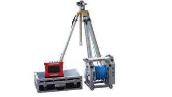
- Digital Accuracy – captures real-time inclination and azimuth readings with high resolution and stability.
- Non-magnetic compatibility – Ideal for use in formations where magnetic interference compromises traditional compass-based tools.
- Portable and Field ready – Lightweight, rugged design with intuitive interface for rapid deployment in remote or challenging terrain.
- Multi-drilling adaptability – suitable for hydrological, geothermal, mineral exploration, and geotechnical boreholes.
- Data Logging and transfer – Integrated memory and USB connectivity for seamless data export and post-processing.
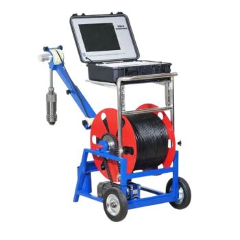
Technical Sheet
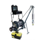
- Imaging Chip: 1/3” color CCD, sensitivity 0.1Lux.
- Display: LCD, 12 inches, resolution 1024*768.
- Lens: Manually fine-tune the focus; the lens is 360 degrees horizontally, tilted 180 degrees to rotate, freely controlled and can stay in any position.
- Illumination Unit: front LED patch lamp beads, the brightness of the light source is adjustable in 8 levels.
Measurement Depth: 300M, 400M, 500M, 600M, 800M, 1000M - Storage Unit: U Disk.
- Probe: Panorama/ rotation can be replaced at will, 40-120mm.
- Working Voltage: AC 220V50Hz.
- The tensile strength of the cable is 250kg.
- The maximum pressure of the probe is not less than 15Mpa.
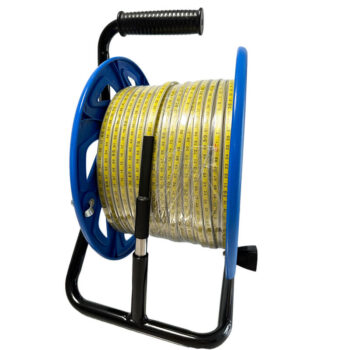
Technical Description
Accuracy: Ruler Tape mm
Material: Metal frame OR Plastic
Tape: Polyethylene coated stainlessProbe Stainless steel
Power: 9-volt alkaline battery
Alarm: 5 kHz output tone
Storage Temperature: 32°-140F(0°-60°C)
Operating Temperature: 40°-150F(-10-60
Response Time: < 10 milliseconds
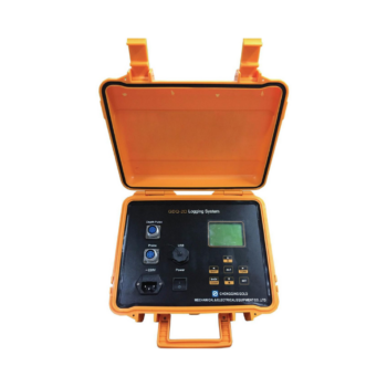
Product Features:
- High resolution sensors for resistivity, seismic, IP, and magnetic measurements.
- Borehole cameras and loggers for visual inspection and structural analysis
- Modular design compatible with various probe types and depths
- Rugged construction for field reliability in harsh environments
- Intuitive design software for data visualization, interpretation, and reporting
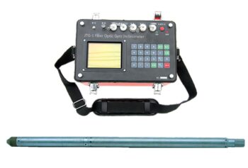
Product Features:
- Multi-shot surveying – captures multiple orientation points in a single run, enabling detailed trajectory mapping deviation analysis.
Product Features:
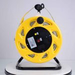
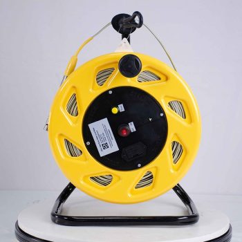
- Accurate Depth Measurement: Provides quick and precise readings of water depth with a standard resolution of 0.5 mm.
- Audible Signal: Emits a clear tone when the probe contacts water, making detection easy even in noisy environments.
- Durable Tape: Uses a flat, high-tensile, non-stretch tape with clear depth markings for long-term reliability.
- Battery Operated: Lightweight and portable, ideal for field use without the need for external power.
- Multiple Length Options: Available in lengths ranging from 100 meters to 1000 meters, suitable for shallow and deep wells